
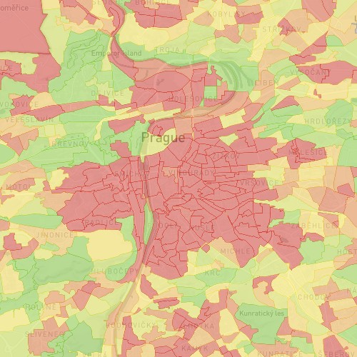


For a public transport authority (PTA) we have calculated ridership statistics from hundreds of GBs of ticket purchase data. Our analysis provided the PTA with accurate information on how many riders of which category use each public transport service at different times. A challenge here was to reliably map purchase transactions from multiple transport operators to the underlying public transport timetables and to build an interactive map-based data visualization that conveyed the insights the PTA needed to plan optimization of the public transport network.
Always Recommending the Perfect Trip
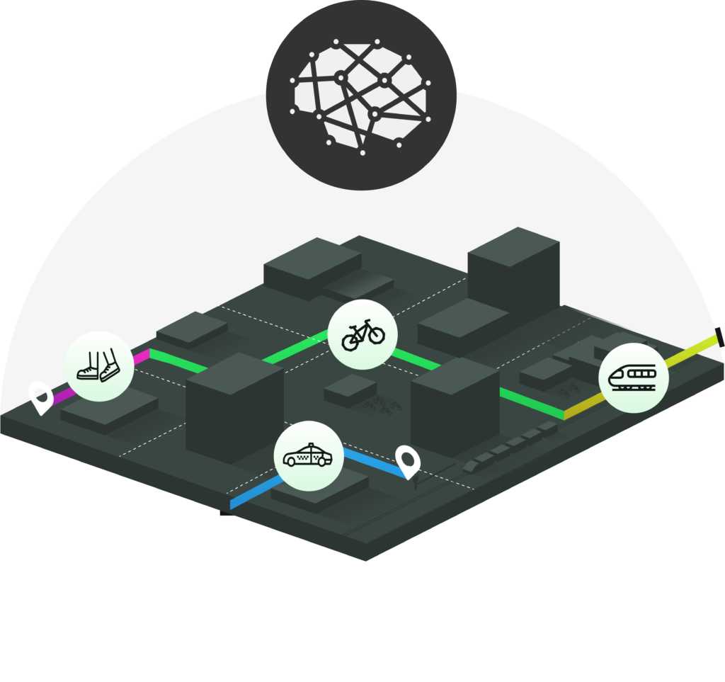
AnyRoute considers all mobility services on offer and tailors route recommendations to each particular user and the situation at hand.
Any-Mode
AnyRoute calculates best routes using just any mode of transport–public, private, shared or on-demand–and any mode combination. Park & Ride, Bike on Public Transport, or Public Transport+Ride Hail and beyond–if the intermodal combination makes sense, we will find it!
Situation-Aware
AnyRoute recommends trips that reflect the current situation in the transport system. Public transport delays and cancellations, bike share availability, ride-hail prices or even the weather are just some of the situational factors that are considered in route optimization.
User-Centric
AnyRoute optimizes routes for all the criteria that users care about. Optimize trips for criteria beyond distance and time–price, comfort, fitness and emissions are supported out of the box and others can be added. Personalize route recommendations based on a user's profile and past behaviour.